Drone Division Ready For Take Off!
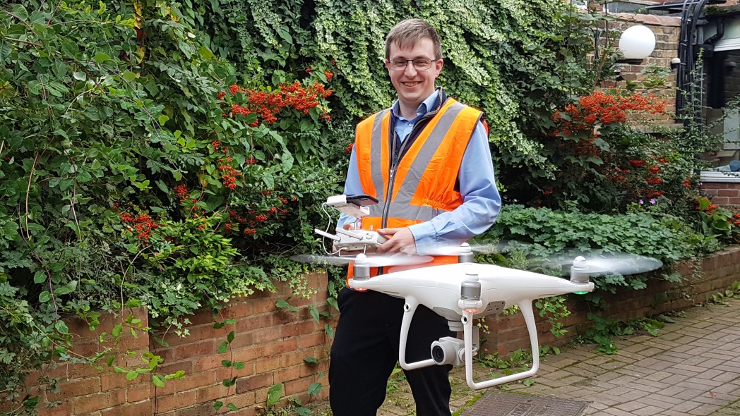
21/11/2019 - posted in Bridges, Buildings, Civils, Geoenvironmental, HBPW News, Industrial, Inspections, Leisure, Marine, Rail, The Team, Uncategorised, Value EngineeringHBPW now has its very own pilot – Captain William Withers!
But there won’t be an airport or flight deck in sight when the 29 year old technician steps up to the controls, for ‘Will’, who has worked at the firm’s East Midlands offices in Retford since 2016, is now the firm’s only qualified drone pilot.
Associated British Ports, Tower Surveys and even Tata Steel in Corby, have already taken advantage of HBPW’s new service to produce topographical surveys and condition reports.
Will, who had to go through a stringent practical and theoretical course before he was signed off by the Civil Aviation Authority, said: “Drones are revolutionising the way surveys are carried out and it was imperative that HBPW geared up to meet yet another facet of the technological revolution; standing still and doing things the old way is no longer an option.”

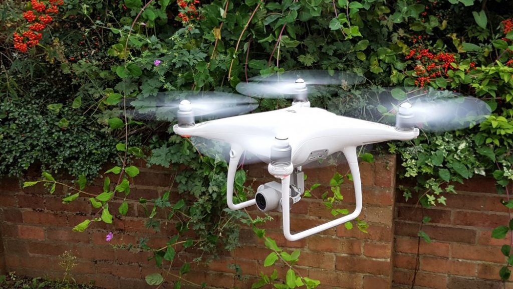
Working with Tower Surveys and utilising a DJI Phantom Four Quad Copter drone, Will was able to capture the exterior of an old listed building – Wilford House in Nottingham. He then created a 3D Point Cloud, subsequently produce a two-dimensional orthomosaic image, which facilitates high-level zooming enabling close office-based inspection of mapped areas.
“Drone flying in the UK is now highly regulated and, whilst the kit itself has vast capability in terms of height and distance, pilots are only allowed to fly drones to 400ft and must always have line of sight,” said Will.
“Allied to this there are local restrictions like air traffic control, for example, so training is not only necessary but absolutely vital for organisations working in built-up and highly regulated environments. Personally, I only fly the Phantom Four as high as is required, usually a maximum of 100ft.”
The new HBPW service supports clients wanting inspections, 3D Point Cloud, Orthomosaic Imaging, and Volume Assessments from above for such things as large soil mounds.
“Tower Surveys utilised a Lidar scanner to map some of the Wilford House exterior whilst my drone mapped the upper part of the exterior and roof, then, by tying the two outcomes together and into a Point Cloud, we were able to see everything in one 3D model.”
A similar service was delivered for a client working with Tata Steel in Corby and Will’s drone was also used to map a highly vegetated area at Associated British Ports’ Garston Docks, Liverpool.
“By creating a Point Cloud at Garston I was then able to select areas on the ground which were visible,and by using Civils 3D AutoCAD software, create a topographical survey which was subsequently able to produce ‘sections’ for the client.
“Technology is moving rapidly and so are the regulations that monitor and control it, however, drones are here to stay and I foresee that more and more clients will start to use them in the near future. They simply take time and cost out of jobs when compared to more traditional methods.”
